Decoding Exit Numbers at Your Destination Station
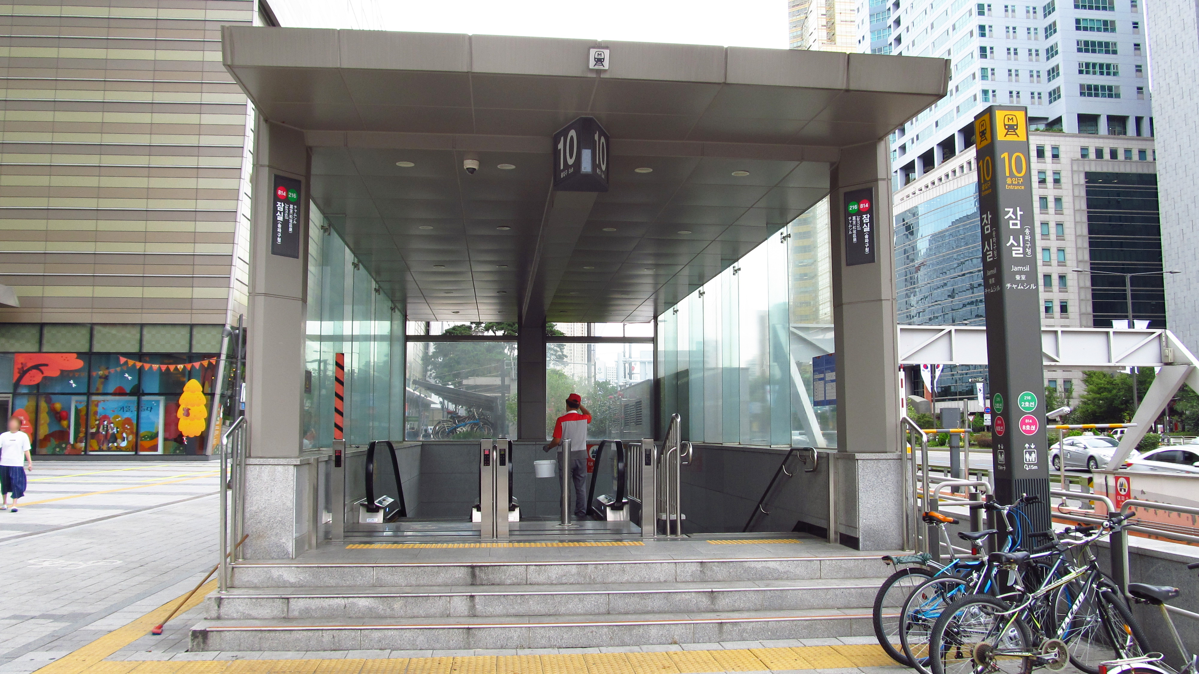
Start by opening a reliable map app and searching for the exact address or landmark you are heading to. The app will list the recommended exit number for that station. When you arrive, look for the large blue‑white exit signs on the platform; they display both the exit number and a short description of the street or building it serves.
Verify that the description matches your destination (e.g., "Exit 4 – Hongik University" for the university campus). If the description is vague, cross‑check with the station’s posted maps near the ticket gates. This step ensures you descend the correct staircase, saving you from unnecessary walking and potential confusion, especially in large stations with ten or more exits.
What I Would Do First
When you need to find the right Seoul subway-to-bus-in-seoul">subway exit, first locate the exit number on your destination map or app. Compare that number with the signs on the platform and at the concourse; the exit that matches the street name or landmark you need is usually the best choice. If the signs conflict, ask a station staff member in the orange vest for confirmation, or double‑check with a Korean map app (Naver or KakaoMap).
Keep a backup plan: know the nearest passageway to the main concourse and have an alternative exit number ready in case construction or temporary signage blocks your first choice. This approach lets you decide quickly, avoid long detours, and stay on schedule.
Field Notes
- First‑time friction: I arrived at Hongdae on Line 2, followed the nearest exit, and discovered I was on the opposite side of the main street, adding a 15‑minute walk to my hostel.
- Local cue: Station staff wear bright station staff uniforms; they will point you to the correct exit if you ask in English or show a printed destination card.
- Fallback move: When exit signage is unclear, walk to the central concourse, use the digital information kiosks or open Naver/KakaoMap on your phone to verify the correct exit number before descending.
Local Tips Worth Knowing
These are practical patterns that often come up in Korean local guides and traveler discussions, rewritten for visitors instead of copied from any one source.
- Use Naver Map or KakaoMap for station exits and bus arrival details; Google Maps is better as a backup reference than as the main Korea transit app.
- Check the exit number before leaving a large subway station. The wrong exit can add a long walk even when you arrived at the correct station.
- On buses, tap your transit card when getting off as well as when boarding. Missing the exit tap can affect transfer handling.
- Keep some Korean won available for transit card top-ups because foreign-card support can vary by machine, station, and store.
When Signage and Apps Conflict: Real‑World Decision Steps
Occasionally the digital map will suggest an exit that differs from the physical signage, often due to recent construction or temporary closures. In such cases, pause at the concourse and locate the station’s information board; it usually lists any exit that is out of service. If the board is missing or outdated, approach a staff member in the orange vest and show them the app screenshot.
They can confirm whether the suggested exit is usable or direct you to the nearest functional alternative. Weigh the trade‑off between following the app (which may be more up‑to‑date) and the visible signs (which are guaranteed to be present). Choosing the staff‑verified exit reduces the risk of getting stuck in a closed passage.
What This Looks Like
Comparison Table
Exit closest to the landmark (shortest walk) vs. exit that opens onto a busy main road (easier for taxis or buses).
Exit with direct underground shopping passage (convenient for luggage) vs. exit that leads straight to street level (faster if you have no bags).
Exit that is fully accessible (elevators, ramps) vs. exit with stairs only (quicker for fit travelers).
Exit with clear English signage vs. exit where signs are only in Korean (requires staff assistance or app help).
Leveraging Station Staff and In‑Station Resources
Korean subway-to-bus-in-seoul">subway stations are staffed with attendants who can speak basic English. When you are unsure, approach the ticket counter or the information desk and ask, "Which exit leads to [your destination]?" Carry a small printed card with the Korean name of your destination; this helps staff locate the correct exit quickly. Additionally, many stations have digital kiosks that display a floor‑by‑floor map when you tap the exit number you are considering.
Use these kiosks to visualize the path before you descend. Knowing that staff are readily available and that kiosks provide a visual confirmation helps you avoid missteps, especially in stations with multiple underground levels.
Field Notes
- Identify the exit number shown on your destination map or app.
- Match the exit description on the platform signs with your landmark.
- Confirm exit availability on the station information board or with staff.
- Note an alternative exit in case the primary one is closed.
- Keep a mobile map app open for real‑time guidance while navigating the passageways.
Backup Routes: Using Passageways and Mobile Maps When the Ideal Exit Is Unavailable
If you discover that your intended exit is closed for maintenance or the signage is missing, don’t panic. Most major stations have a central underground passage that connects all exits. Follow the signs for "연결통로" (connecting passage) to reach the main concourse, then consult your mobile map app for the next closest exit that serves your destination.
Keep the app open in split‑screen mode so you can compare the distance between exits in real time. As a last resort, exit the station via any open gate and walk on the street level; the street name displayed on the exit sign will guide you to the correct side of the road. Having this layered fallback plan ensures you stay on track even when the optimal exit is out of reach.
Reader Questions
How can I be sure I’m taking the right exit when the station has more than ten options?
First, check the exit number on your map app and compare it with the blue‑white exit signs on the platform. If the signs are unclear, ask a staff member in the orange vest and show them the app screenshot. They can confirm the correct exit or suggest the nearest usable alternative.
What should I do if the exit I need is marked as closed for construction?
Head to the central underground passage (look for "연결통로" signs) and use your map app to locate the next closest exit that serves your destination. Staff at the information desk can also point you to the best substitute exit.
Is English signage reliable enough, or do I need a Korean‑language map?
English signage is common in major stations, but some exits only display Korean text. Carry a digital map with the Korean name of your destination or a printed card; this lets staff guide you accurately even when English signs are missing.
Related Guides
Questions about this guide?
If something is unclear or you want a Korea-specific answer, leave a question. Public answers can be added after review.